


"DISCONTINUED"
Unavailable!
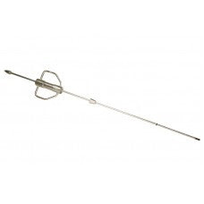
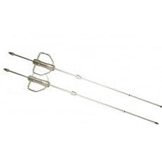
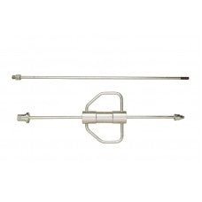
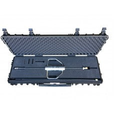
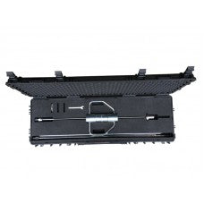
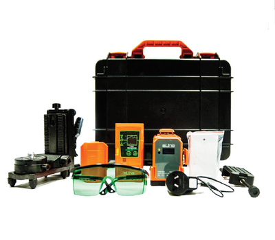
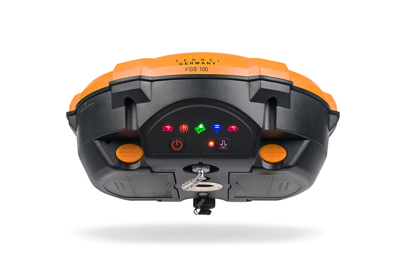
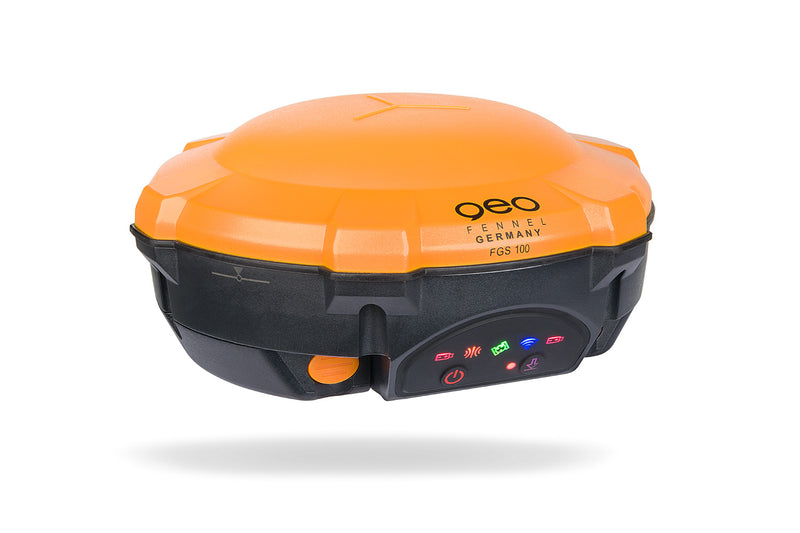
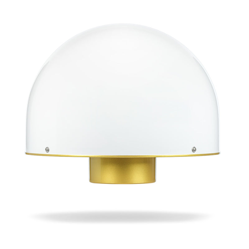
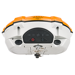
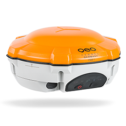
geo-FENNEL GPS System FGS Lite Set, geo-FENNEL Survey, Feldrechner FAC 1 & G20
The new geo-FENNEL GNSS-Antenna FGS Lite with geo-FENNEL Survey Software supports the user in a variety of simple surveying tasks.
Whether field survey or stakeout, the data can be quickly and accurately transmitted or read from Android controllers and mobile devices such as standard tablets or mobile phones.
The geo-FENNEL Survey Software is a simplifi ed, android-based application software that can handle simple measurement tasks. Stake out points and lines, area calculation and the calculation of point coordinates.
Measured data can be imported or exported as ASCII or DXF.
The geo-FENNEL Survey Software supports all geo-FENNEL GNSS Antennas, whether in UHFMode or in a CORS with online transformation. Data can be picked up from a FTP-Server which is automatically created by the software.
The measurement window automatically includes an open source map, which allows the user to navigate quickly.
Switching between radio (FGS 1 and FGS 100) and NTRIP-Caster can be enabled within a short time by creating profiles.
Earth moving / road construction: Topo survey, measurement of original lay of land, stakeout, area calculation, batter board, determine lines, mass determination, point recording / monitoring
Mining: Mass determination, inventory, stake out of drill holes for explosions in the quarry
Contractor: Area calculation / mass determination
Garden / landscaping: Area calculation, stakeout of points and lines, implement planting plans, stake out bedding borders
Archaeologists: Measuring fi nds, recording and documentation of fi nds
Municipality: Water pipes and cable data base, inventory of GIS objects (lanterns, park bench, garbage can, etc.), border check, area calculation
Water management: GIS database for water supply, basic plans for development of building areas
Agriculture / forest: Border determination, staking points, area calculation
Assessor National resources: Geological survey, grab- / sondage measure, topo survey
Technical Specification
| Dust / water protection: | IP 54 |
| Accuracy SBAS: | 1 m 3D RMS |
| Charging time: | 2,5 h |
| Power supply: | 1,6 W / 3400 mAH |
| Shock and protection: | 1.5 m drop to floor |
| Storage temperature: | −30°C to +70°C |
| Operation temperature: | −20°C to +60°C |
| Weight (instrument with battery): | < 0,35 kg |
| Extended size: | 13,7 × 7,2 × 5,0 cm |
| Protocol: | RS232 |
| Bluetooth: | 4.0, for Windows and Android |
| Accuracy Stand-Alone: | 1,5 m 3D RMS |
| Accuracy DGPS: | < 0,4 m 3D RMS |
| GPS: | L1,C/A, L2C, L2P |
| Accuracy RTK: | 8,0 mm + 1 ppm horizontal, 15.0 mm + 1 ppm vertical |
| Accuracy static: | 2,5 mm + 1 ppm horizontal, 5.0 mm + 1 ppm vertical |
| SBAS: | WAAS, EGNOS, MSAS, GAGAN |
| QZSS: | reserved |
| GALILEO: | E1, E2, E5 |
| BEIDOU: | B1, B2 |
| GLONASS: | L1C/A, L1P, L2C/A, L2P |
| Channels: | 352 |
| Operating time: | more than 9 hours |
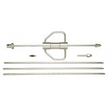
Included in scope delivery:
|
|
|
|
|
|
|
|
|
 Differences with geo-Fennel GPS System
| Shipping | This Item Ships from Fremantle, Perth, Western Australia |
Please allow 2 - 10 days for your order to arrive.
Although Most Stocked Products will generally Ship Overnight. We source products from all over the world to bring you epic offers and the lowest prices. This means sometimes you have to wait a little longer to get your order but it's always worth it!
Returns are easy.
simply contact us for a returns number and send your item to our returns centre for fast processing. We'll get you a replacement or refund in a snap!
Description
"DISCONTINUED"
Unavailable!
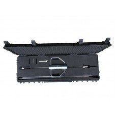
geo-FENNEL GPS System FGS Lite Set, geo-FENNEL Survey, Feldrechner FAC 1 & G20
The new geo-FENNEL GNSS-Antenna FGS Lite with geo-FENNEL Survey Software supports the user in a variety of simple surveying tasks.
Whether field survey or stakeout, the data can be quickly and accurately transmitted or read from Android controllers and mobile devices such as standard tablets or mobile phones.
The geo-FENNEL Survey Software is a simplifi ed, android-based application software that can handle simple measurement tasks. Stake out points and lines, area calculation and the calculation of point coordinates.
Measured data can be imported or exported as ASCII or DXF.
The geo-FENNEL Survey Software supports all geo-FENNEL GNSS Antennas, whether in UHFMode or in a CORS with online transformation. Data can be picked up from a FTP-Server which is automatically created by the software.
The measurement window automatically includes an open source map, which allows the user to navigate quickly.
Switching between radio (FGS 1 and FGS 100) and NTRIP-Caster can be enabled within a short time by creating profiles.
Earth moving / road construction: Topo survey, measurement of original lay of land, stakeout, area calculation, batter board, determine lines, mass determination, point recording / monitoring
Mining: Mass determination, inventory, stake out of drill holes for explosions in the quarry
Contractor: Area calculation / mass determination
Garden / landscaping: Area calculation, stakeout of points and lines, implement planting plans, stake out bedding borders
Archaeologists: Measuring fi nds, recording and documentation of fi nds
Municipality: Water pipes and cable data base, inventory of GIS objects (lanterns, park bench, garbage can, etc.), border check, area calculation
Water management: GIS database for water supply, basic plans for development of building areas
Agriculture / forest: Border determination, staking points, area calculation
Assessor National resources: Geological survey, grab- / sondage measure, topo survey
Technical Specification
| Dust / water protection: | IP 54 |
| Accuracy SBAS: | 1 m 3D RMS |
| Charging time: | 2,5 h |
| Power supply: | 1,6 W / 3400 mAH |
| Shock and protection: | 1.5 m drop to floor |
| Storage temperature: | −30°C to +70°C |
| Operation temperature: | −20°C to +60°C |
| Weight (instrument with battery): | < 0,35 kg |
| Extended size: | 13,7 × 7,2 × 5,0 cm |
| Protocol: | RS232 |
| Bluetooth: | 4.0, for Windows and Android |
| Accuracy Stand-Alone: | 1,5 m 3D RMS |
| Accuracy DGPS: | < 0,4 m 3D RMS |
| GPS: | L1,C/A, L2C, L2P |
| Accuracy RTK: | 8,0 mm + 1 ppm horizontal, 15.0 mm + 1 ppm vertical |
| Accuracy static: | 2,5 mm + 1 ppm horizontal, 5.0 mm + 1 ppm vertical |
| SBAS: | WAAS, EGNOS, MSAS, GAGAN |
| QZSS: | reserved |
| GALILEO: | E1, E2, E5 |
| BEIDOU: | B1, B2 |
| GLONASS: | L1C/A, L1P, L2C/A, L2P |
| Channels: | 352 |
| Operating time: | more than 9 hours |
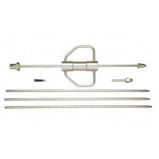
Included in scope delivery:
|
|
|
|
|
|
|
|
|
Shipping
| Shipping | This item ships to |
Delivery & Returns
Please allow 2 - 10 days for your order to arrive.
Although Most Stocked Products will generally Ship Overnight. We source products from all over the world to bring you epic offers and the lowest prices. This means sometimes you have to wait a little longer to get your order but it's always worth it!
Returns are easy.
simply contact us for a returns number and send your item to our returns centre for fast processing. We'll get you a replacement or refund in a snap!
Reviews
6 Great reasons to buy from us:
-

30 Days Return
If your product is faulty or damaged under manufacture warranty, simply send it back to us and we'll cheerfully replace it or fix the problem for you. -

Returns are Easy
Simply contact us for a returns number and send your item to our returns centre for fast processing. We'll get you a replacement or refund in a snap! -

Best Price Guarantee
In the unlikely event that you find your item cheaper at another online store, just let us know and we'll beat the competitor's pricing hands-down. -

We guarantee your satisfaction
We insist that you love everything you buy from us. If you're unhappy for any reason whatsoever, just let us know and we'll bend over backwards to make things right again. -

100% Safe & Secure
Ordering from Laserman Technologies is 100% safe and secure so you can rest easy. Your personal details are never shared, sold or rented to anyone either. -

Best Laser Warranties in the Business
Laserman the Best Laser Level, Pipe Laser and Laser Measuring Warranties in the Business - Now thats unbeatable value !!.